A county on a map isn't your supply chain.
Public dashboards tell you a detection happened somewhere in Duplin County. We tell you it landed 4.2 miles from Hollis Ridge — a farm on your own supplier list — and what that means for next week's volume.
By the time you see it on USDA's site, it's been four days.
State animal health officials quarantine a farm. USDA confirms it days later. You find out when your supplier stops answering. FlockGuard closes that window — alerting you within hours of the state disclosure, before USDA publishes, and only for the farms you actually buy from.
One alert. Named farm, measured distance, next action.
You don't need to check anything. If a detection lands near your farms, it arrives in your inbox within the hour — with the farm name, the distance, and what to do about it. If nothing is near your suppliers, you hear nothing. That silence is the product working.
Three steps, and the first one is your spreadsheet.
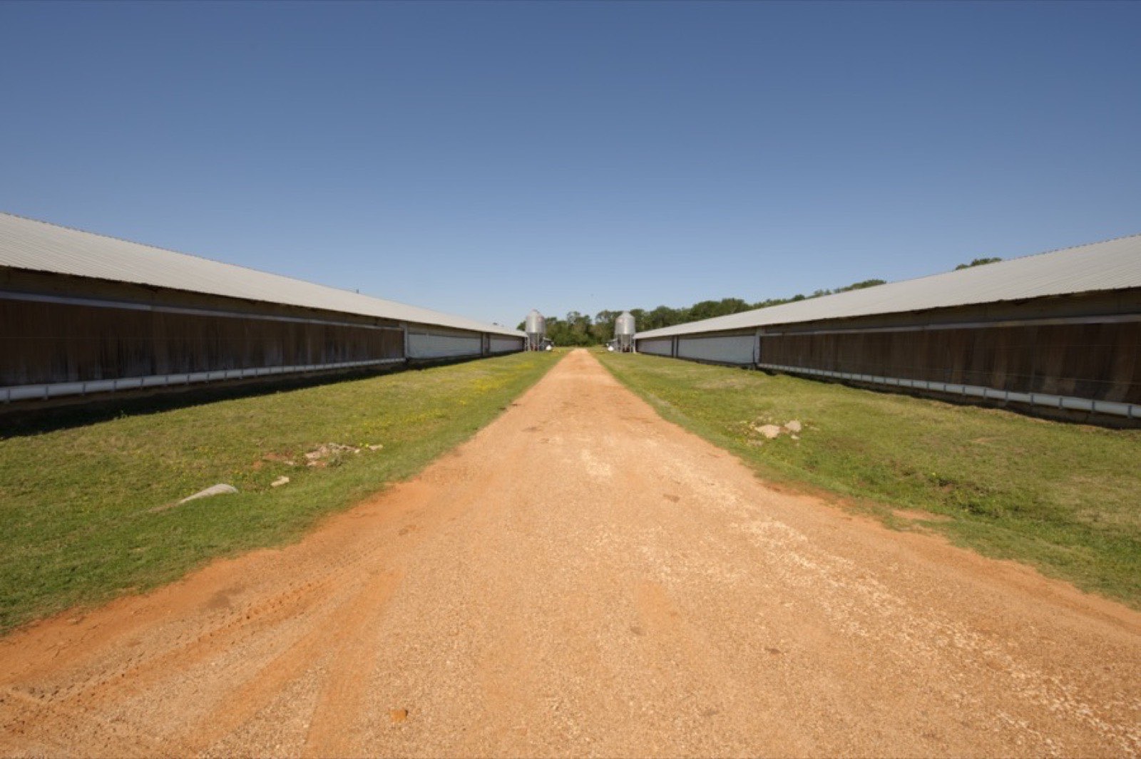
HPAI doesn't wait for your procurement cycle.
Since 2022, HPAI has caused the loss of over 200 million birds across the US — and egg prices hit $6.22 a dozen at the peak. When a flock is confirmed, every bird is gone within 24 hours. The barn sits idle for 60 to 90 days. Supply doesn't bounce back overnight. The processors who had warning had time to act. The ones who didn't found out when the trucks stopped coming.
Two people need the same distance.
You have dozens of farms you depend on. When one county gets hit, you need to know before your buyers ask, before the movement permits tighten, and before every other processor is calling the same alternative suppliers. FlockGuard gives you that window.
HPAI has changed the loss landscape for poultry underwriters since 2022. Static risk models built before the outbreak are consistently wrong. FlockGuard's detection history gives you a county-level proximity signal you can run against your book at renewal — and show your actuarial team.
Bio-OSINT is a hands-on research and alert service today, run for a small first cohort while the data pipeline matures into a self-serve dashboard. You'd be working directly with the people doing the analysis.
We are not a replacement for USDA APHIS or your state veterinarian, and we don't issue regulatory guidance. We read the public record faster and against your list.
Bio-OSINT was founded by Ethan Smith, whose background spans veterinary medicine, intelligence operations — including OSINT, Signals Intelligence, and HUMINT — and cybersecurity. FlockGuard applies the same multi-discipline intelligence methodology used in national security contexts to livestock biosecurity — turning publicly available federal and state surveillance data, technical signals, and human source networks into actionable supply chain intelligence.
Send us your supplier list. We'll show you last month.
A briefing is 30 minutes. We run your named farms against the last 30 days of detections and show you exactly what you would have been told — which farms, how close, and what the volume exposure looked like. No obligation. Most processors find something they didn't know about.